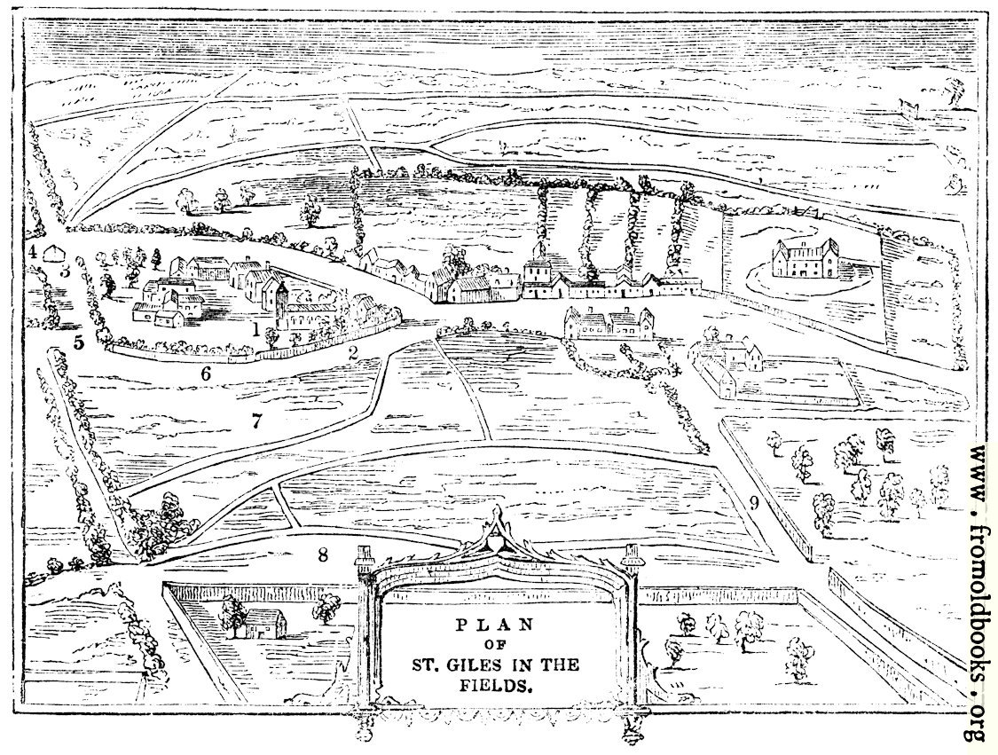
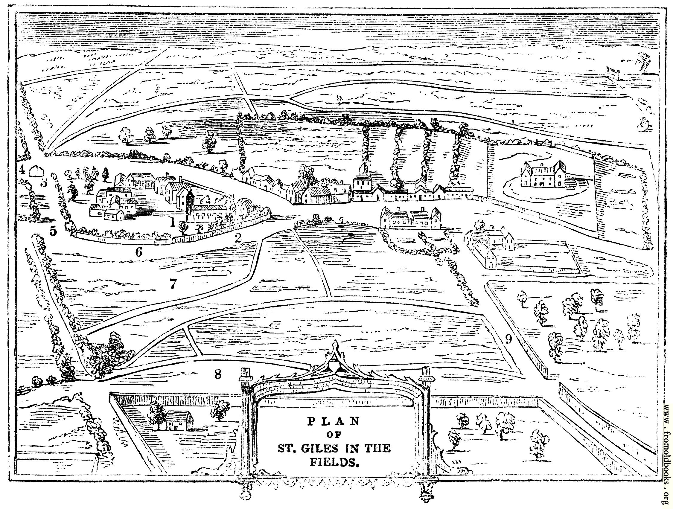
2086.—Plan of St. Giles in the Fields.details

[Picture: 2086.—Plan of St. Giles in the Fields.]
previous image
up

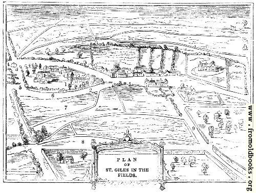
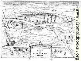
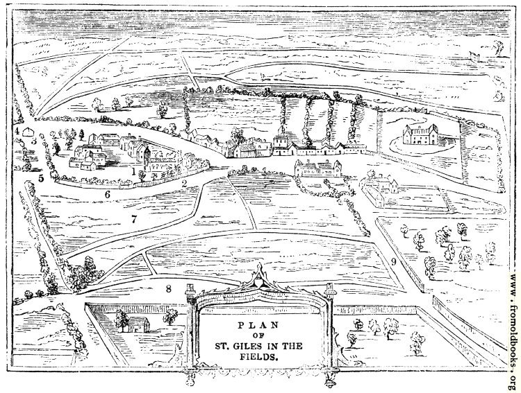
2086.—Plan of St. Giles in the Fields., in St. Giles in the Fields, London, England more

maps, plans, churches


Explore

Image title:

2086.—Plan of St. Giles in the Fields.

Taken from

Status:

Out of copyright (called public domain in the USA), hence royalty-free stock image for all purposes usage credit requested
Please do not redistribute without permission, since running this site is expensive.

Notes:


This plan of the village of St. Giles-in-the-Fields was made in or before 1840, by which time it was already becoming subsumed into London.

1. The first St. Giles’s Church.

2. Remains of the Walls anciently enclosing the Hospital precincts.

3. Site of the Gallows, and afterwards of the Pound.

4. Way to Uxbridge, now Oxford Street.

5. Elde Strate, since called Hog Lane.

6. Le Lane, now Monmouth Street.

7. Site of the Seven Dials, formerly called Cock and Pye Fields.

8. Elm Close, since called Long Acre.

9. Drury Lane.

The text accompanying the map of St. Giles reads as follows:

In giving a few notices of the London of the seventeenth century, we may begin with a part now undergoing greater changes than ever—St. Giles, or, as it was called in its days of long grass and buttercups, and stiles dividing meadow from meadow, St. Giles-in-the-Fields (Fig. 2086). This, in the time of James I., formed a separate hamlet adjoining Westminster; but it was speedily to lose its rural character, and become a part of the rapacious ever-growing monster city, by the erection of a range of continuous houses between the two.

Get unwatermarked version
Buy print-size file for commercial or other use

500x378 66K jpg free download
119x90 4K jpg free download
264x200 12K jpg free download
750x567 158K jpg free download
1125x851 317K jpg free download
2250x1702 1M jpg free download

Similar images: