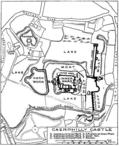
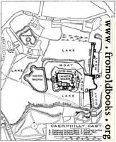
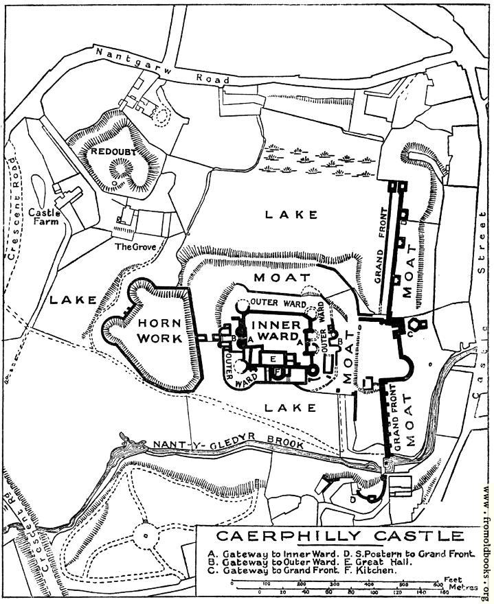
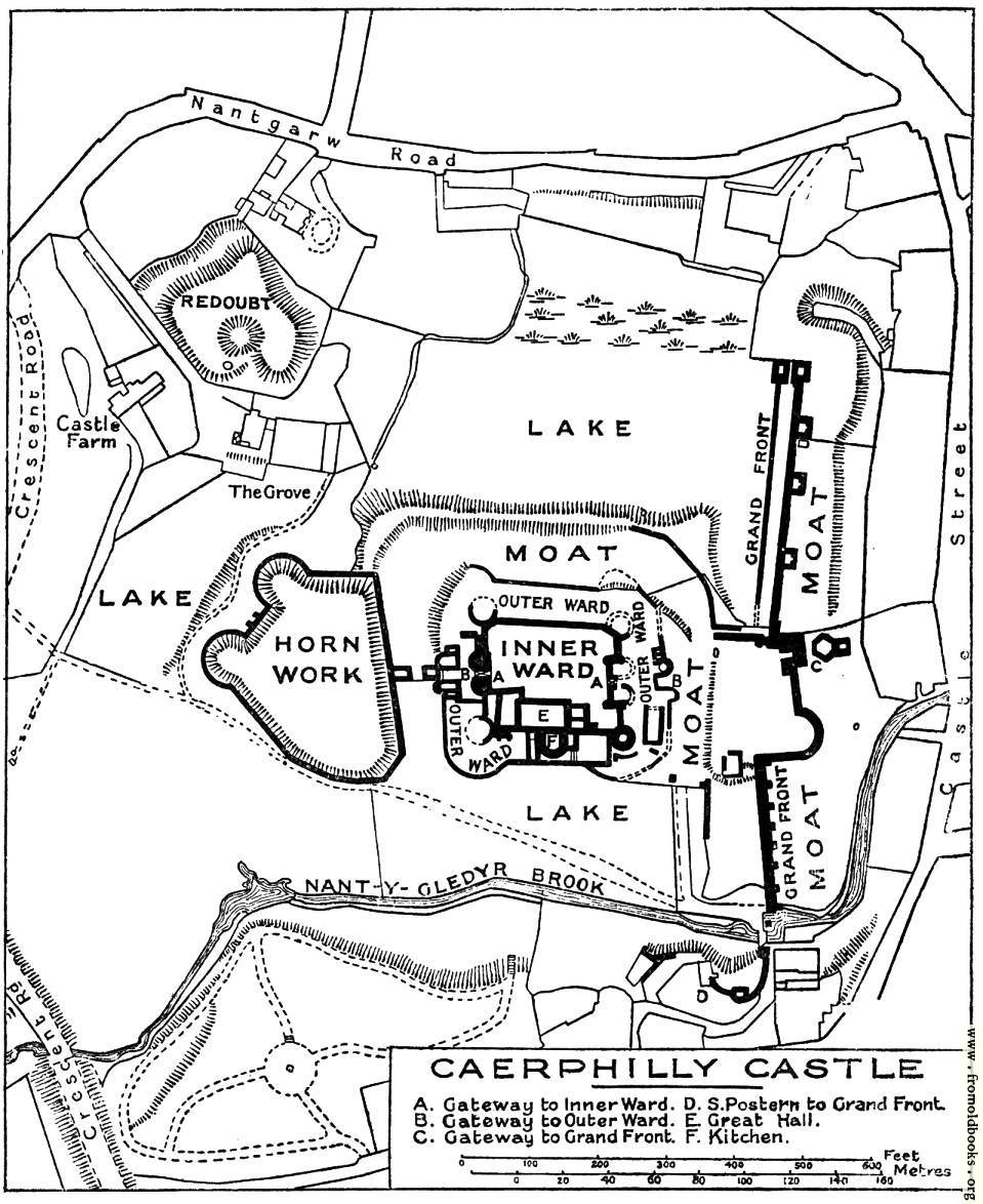
![[Picture: Plan of Caerphilly Castle]](https://www.fromoldbooks.org/OmanCastles/pages/178-Plan-of-Caerphilly-Castle/178-Plan-of-Caerphilly-Castle-q67-959x1174.jpg "[Picture: Plan of Caerphilly Castle]")
Download
Buy print-size file for commercial or other use
| 409x500 | 60K | jpg free download |
| 119x146 | 5K | jpg free download |
| 164x200 | 10K | jpg free download |
| 719x880 | 134K | jpg free download |
| 959x1174 | 182K | jpg free download |
| 1279x1565 | 288K | jpg free download |
This site may be going away; please consider donating.
A huge thank you to all who donate; 2026 August Web hosting: 100%
Buy print-size file for commercial or other use
| 409x500 | 60K | jpg free download |
| 119x146 | 5K | jpg free download |
| 164x200 | 10K | jpg free download |
| 719x880 | 134K | jpg free download |
| 959x1174 | 182K | jpg free download |
| 1279x1565 | 288K | jpg free download |
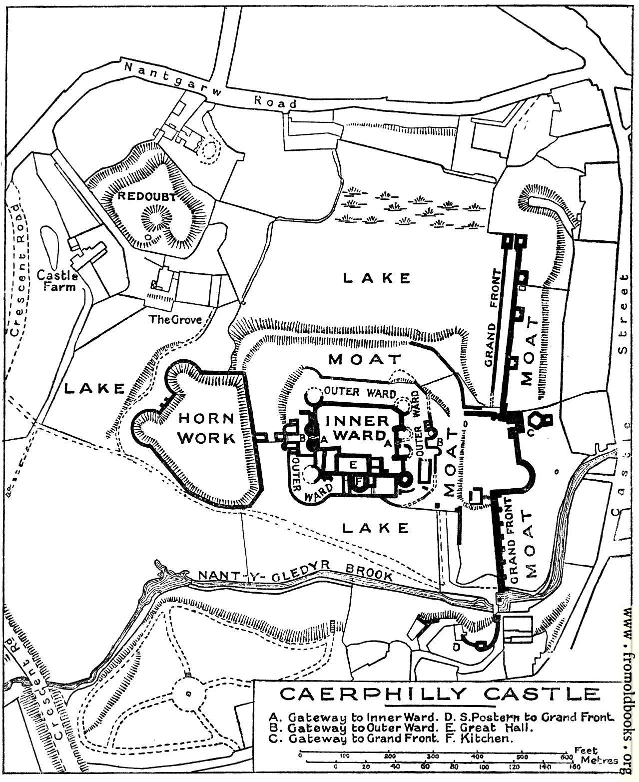
The key reads as follows:
A. Gateway to Inner Ward.
B. Gateway to Outer Ward.
C. Gateway to Grand Front.
D. S. Postern to Grand Front.
E. Great Hall.
F. Kitchen.
This is one of the largest, the most imposing, and the most scientifically constructed castles in all Wales. It must also have been one of the most striking in situation, so long as its great lake encircled it, and its vast towers seemed to rise directly from the water. But the draining of the lake in modern times [1930s] has much impaired the picture, as the vast ruins now rise from a dead flat of marshy meadow ground.” (p. 176)
Caerphilly was one of the earliest of the Concentric Castles on the Welsh border, in 1267, five years before the death of King Henry III.