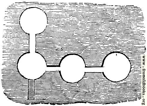
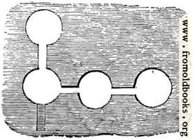
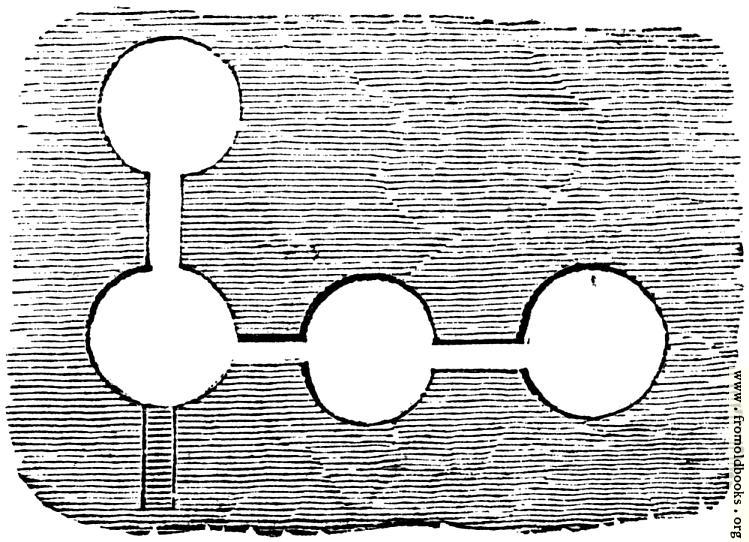
- skip - about - login - register - search

52.—Plan of Chambers at Ballyhendon details

52.---Plan of Chambers at Ballyhendon
previous image
up

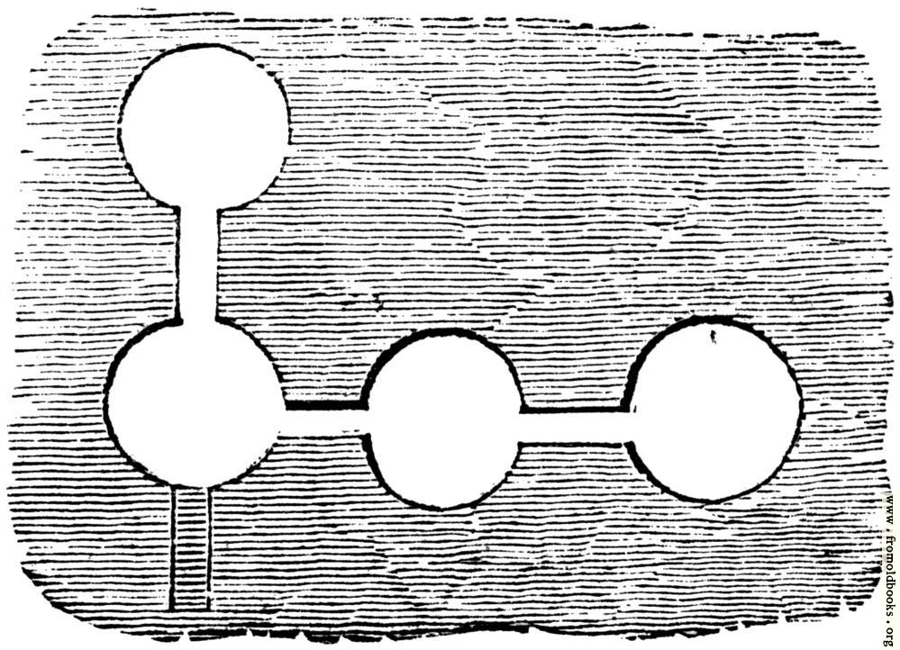
52.—Plan of Chambers at Ballyhendon, in Fermoy, County Tipperary, Ireland more

plans, maps, monuments, greyscale

FG white black yellow green blue purple red orange none
BG white black yellow green blue purple red orange none

500x361 57K
749x542 110K
999x722 163K
Image title: 52.—Plan of Chambers at Ballyhendon
Source: Knight, Charles: “Old England: A Pictorial Museum” (1845)
Place shown: Fermoy, County Tipperary, Ireland
Keywords: plans, maps, monuments, greyscale
Status: out of copyright (called public domain in the USA), hence royalty-free stock image for all purposes usage credit requested

Notes:

“Camden has given a rude [crude] representation of two caverns near Tilbury in Essex, “spacious caverns in a chalky cliff, built very artificially of stone to the height of ten fathoms [18 metres, or 60 feet], and somewhat straight at the top. [...]” The universality of the practice is shown in the caves which were discovered in Ireland, in 1829, which are described in the ‘Transactions of the Antiquarian Society of London,’ vol. xxiii. (Figs 52, 53 and 54).” (p. 22)

The caves are about 7 miles North-East of Fermoy, it seems: Mitchelstown Caves, Baile Mhistéala

The table of contents of the transactions mentioned in the text are online: Vol 23 contents of Archaeologia

Dimensions: 42 x 30mm (1.7 x 1.2 inches)
Filename: 0052-Plan-of-Chambers-at-Ballyhendon-q75-500x361.jpg
Scanner dpi: 1200
Comment: Add a link, leave a comment or change keywords

$Id: mkgallery,v 1.65 2009/10/10 03:35:35 lee Exp lee $

Valid XHTML 1.0! Valid CSS!