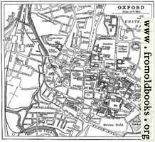
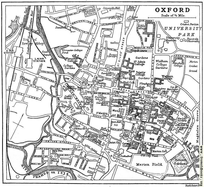
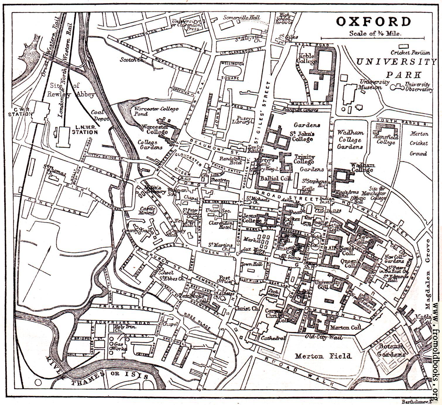
![[Picture: Plan of Oxford from circa 1900]](https://www.fromoldbooks.org/HarmsworthEncyclopaedia/pages/4516-Oxford-map/4516-Oxford-map-q50-500x458.jpg "[Picture: Plan of Oxford from circa 1900]")
Download
Buy print-size file for commercial or other use
| 500x458 | 69K | jpg free download |
| 119x109 | 4K | jpg free download |
| 218x200 | 11K | jpg free download |
| 850x779 | 166K | jpg free download |
| 1133x1038 | 268K | jpg free download |
| 1510x1384 | 505K | jpg free download |
This site is in danger of going away; please consider the Donate link above...
Buy print-size file for commercial or other use
| 500x458 | 69K | jpg free download |
| 119x109 | 4K | jpg free download |
| 218x200 | 11K | jpg free download |
| 850x779 | 166K | jpg free download |
| 1133x1038 | 268K | jpg free download |
| 1510x1384 | 505K | jpg free download |
Overview map of Oxford from 1900 or so, showing the River Thames of Isis, giving the names of almost all the streets, marking the colleges of Oxford University, the railway and other items.