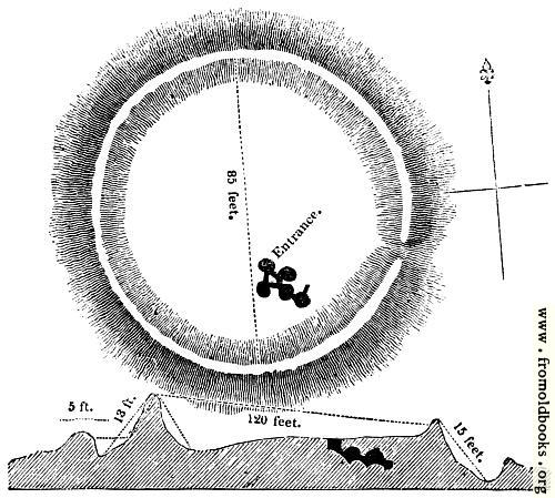
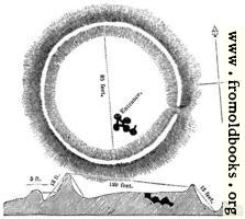
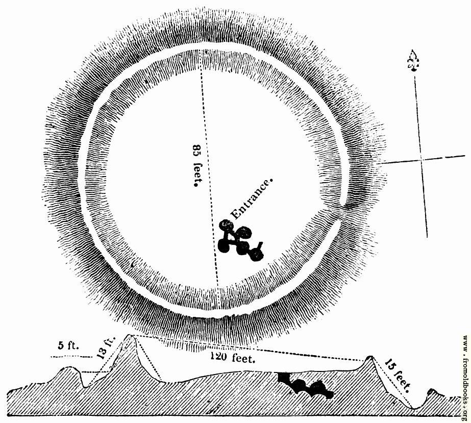
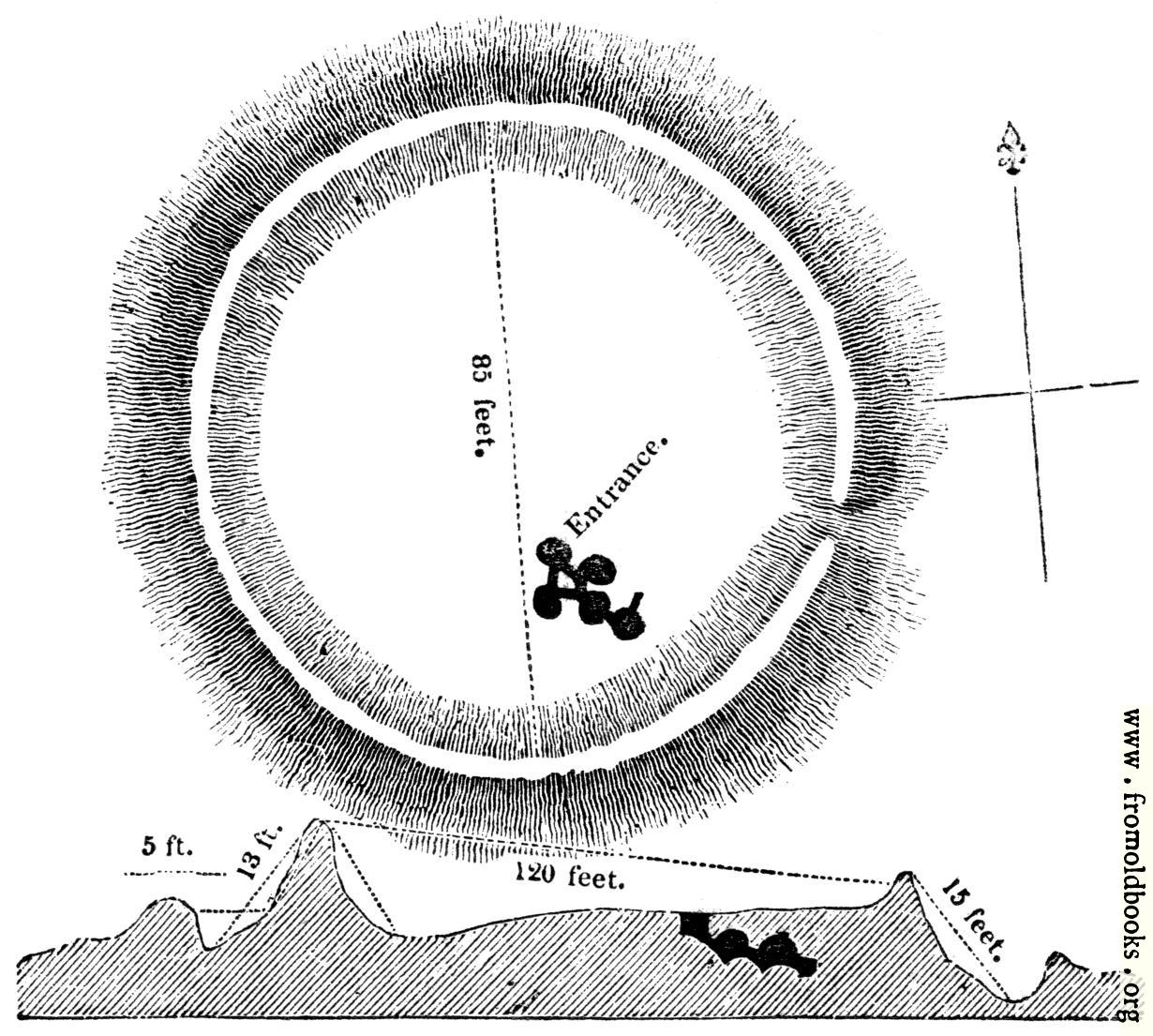
- skip - about - login - forum - search

54.—Ground Plan and Section of the Subterranean Chamber at Carrighhill.details

[Picture: 54.---Ground Plan and Section of the Subterranean Chamber at Carrighhill.]
previous image
up
Public Domain Mark Find a copy of this book on abebooks

54.—Ground Plan and Section of the Subterranean Chamber at Carrighhill., in Carrick-on-Suir, County Tipperary, Ireland more

plans, monuments, druids, greyscale

foreground: none
background: none

Image title: 54.—Ground Plan and Section of the Subterranean Chamber at Carrighhill.
Source: Knight, Charles: “Old England: A Pictorial Museum” (1845)
Place shown: Carrick-on-Suir, County Tipperary, Ireland
Keywords: plans, monuments, druids, greyscale
Status: out of copyright (called public domain in the USA), hence royalty-free stock image for all purposes usage credit requested
Please do not redistribute without permission, since running this site is expensive.
Share/Bookmark Arts Blogs - Blog Top Sites

I think the place mentioned is probably Carrick, and in particular either the neolithic Carrick East Burial Chamber or Carrigadoon Hill, but I am not certain. At any rate the text makes clear that it is in Ireland, but says nothing more. The cited archaeological report mentions Fermoy in its title (the contents are online).

Dimensions: 68 x 60mm (2.7 x 2.4 inches)
Filename: 0054-Carrighhill-Plan-and-Section-q75-500x449.jpg
Scanner dpi: 1200
Comment: Add a link, leave a comment or change keywords

$Id: mkgallery,v 1.69 2010/06/05 03:56:00 lee Exp lee $

Valid XHTML 1.0! Valid CSS!