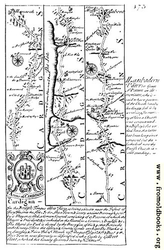
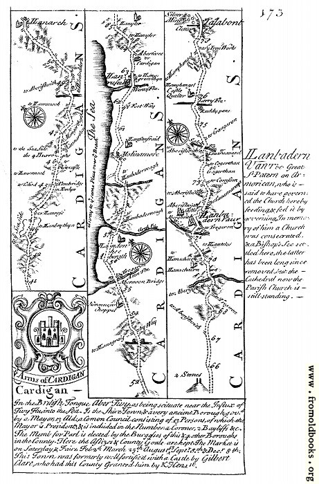
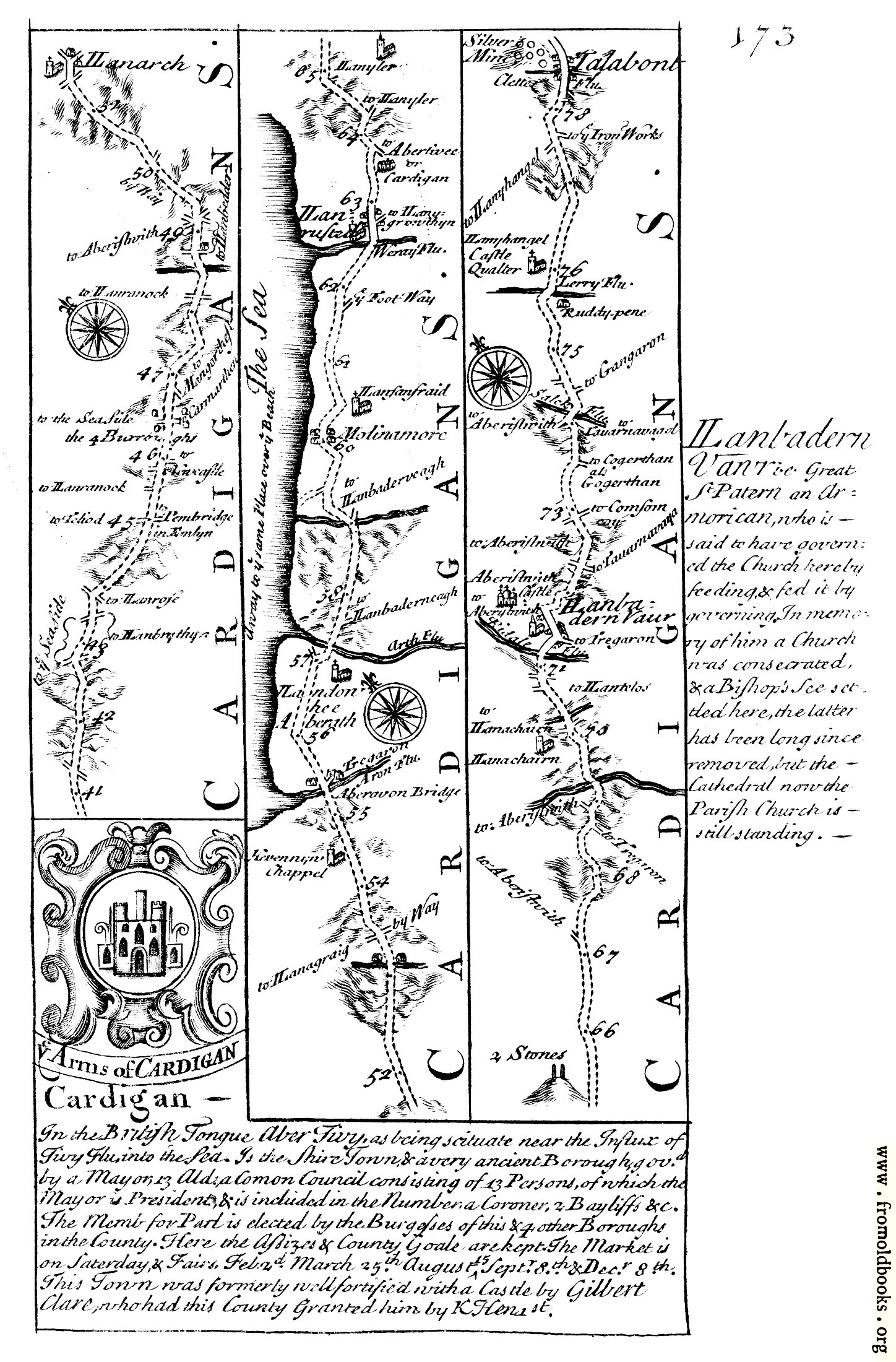
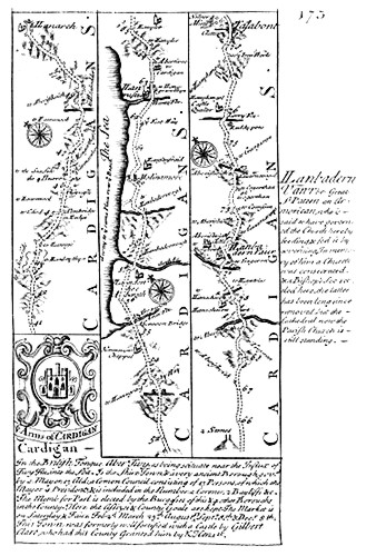
![[Picture: 173.—Cardigan, Aberystwyth]](https://www.fromoldbooks.org/Bowen-BritanniaDepicta/pages/173-cardigan-route-map/173-cardigan-route-map-q90-329x500.jpg "[Picture: 173.—Cardigan, Aberystwyth]")
Download
Buy print-size file for commercial or other use
| 329x500 | 66K | jpg free download |
| 120x182 | 11K | jpg free download |
| 132x200 | 11K | jpg free download |
| 461x700 | 134K | jpg free download |
| 724x1100 | 273K | jpg free download |
| 1448x2200 | 806K | jpg free download |
This site is in danger of going away; please consider the Donate link above...
Buy print-size file for commercial or other use
| 329x500 | 66K | jpg free download |
| 120x182 | 11K | jpg free download |
| 132x200 | 11K | jpg free download |
| 461x700 | 134K | jpg free download |
| 724x1100 | 273K | jpg free download |
| 1448x2200 | 806K | jpg free download |
This is a route-map for people traveling in Great Britain; an early travel guide from 1720. This page was scanned by someone else, and is not as clear as I would like, but may still be of use or interest.