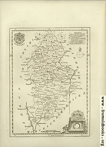
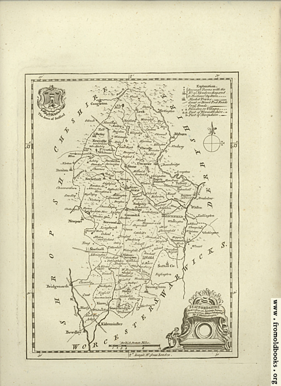
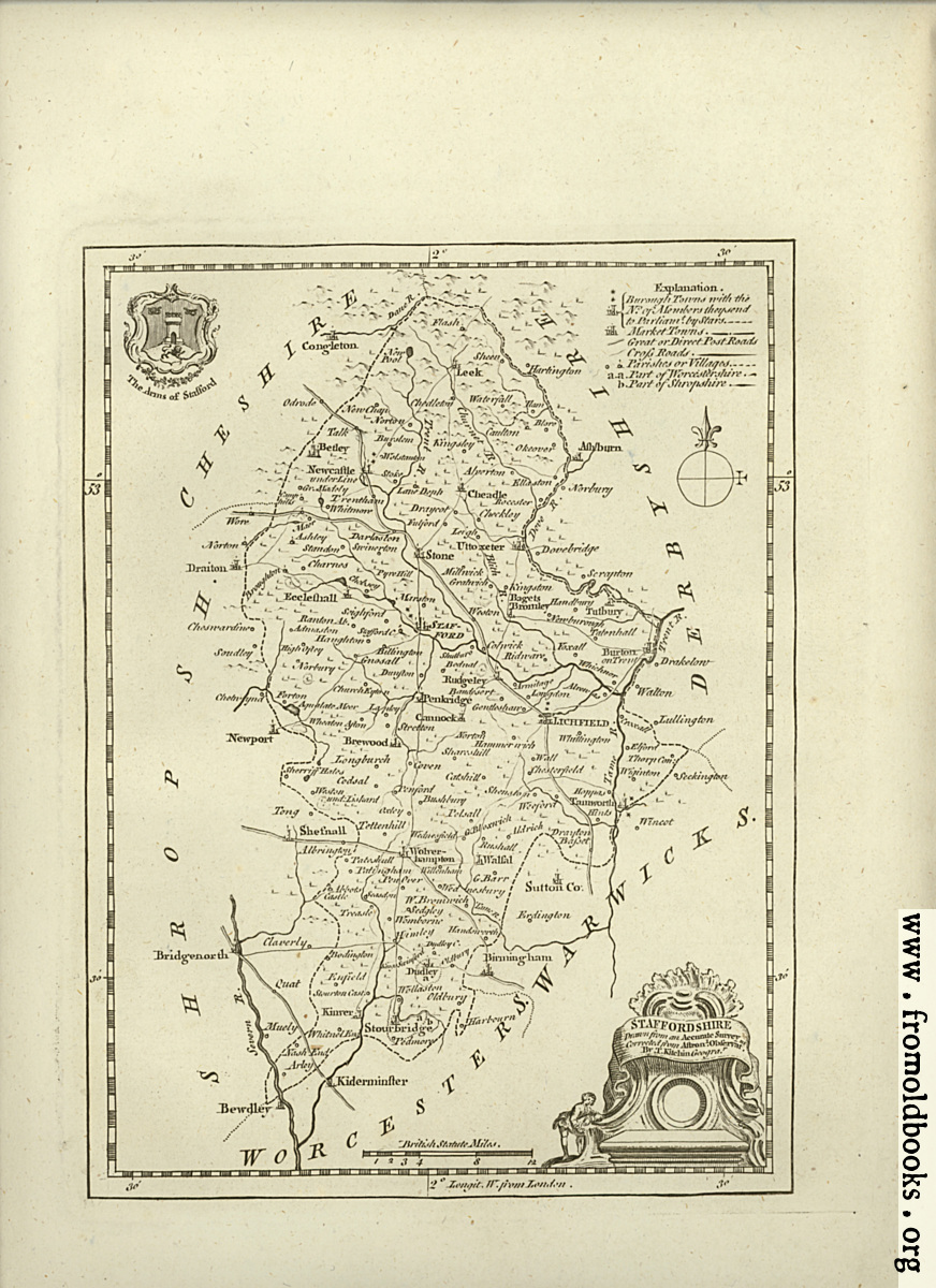
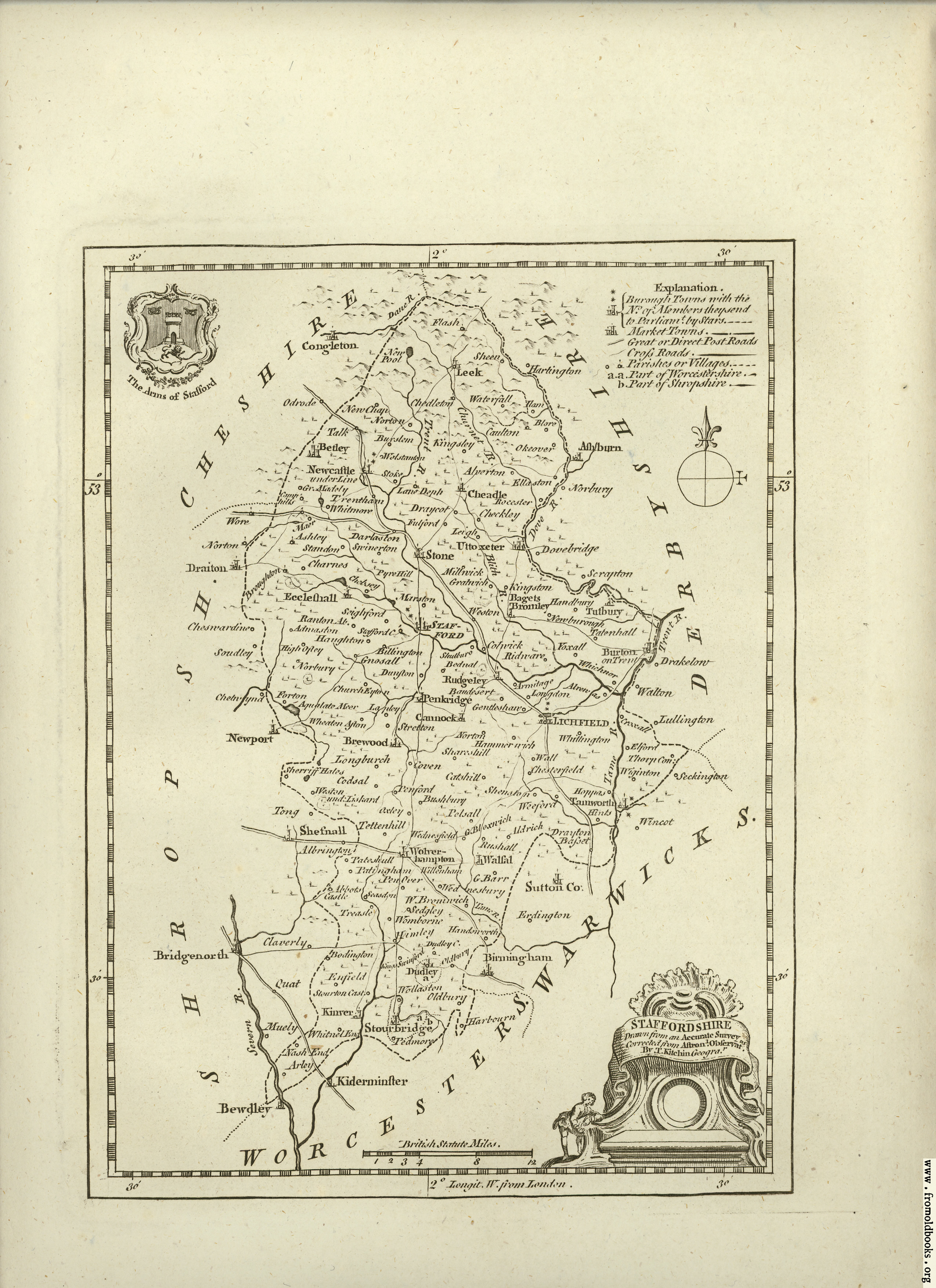
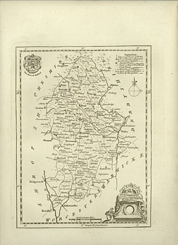
![[Picture: Antique Map of Staffordshire]](https://www.fromoldbooks.org/Boswell-Antiquities/pages/Unedited-Staffordshire-Map/Unedited-Staffordshire-Map-363x500.jpg "[Picture: Antique Map of Staffordshire]")
Download
Buy print-size file for commercial or other use
| 363x500 | 73K | jpg free download |
| 120x165 | 10K | jpg free download |
| 145x200 | 12K | jpg free download |
| 558x768 | 172K | jpg free download |
| 872x1200 | 425K | jpg free download |
| 2551x3510 | 2M | jpg free download |
This site is in danger of going away; please consider the Donate link above...
Buy print-size file for commercial or other use
| 363x500 | 73K | jpg free download |
| 120x165 | 10K | jpg free download |
| 145x200 | 12K | jpg free download |
| 558x768 | 172K | jpg free download |
| 872x1200 | 425K | jpg free download |
| 2551x3510 | 2M | jpg free download |
Antique Map of Staffordshire