This site may be going away; please consider the Donate link above... or LiberaPay:

A huge thank you to all who donate; 2026 Q3 Web hosting $52.02 / $300.
This site may be going away; please consider the Donate link above... or LiberaPay:
A huge thank you to all who donate; 2026 Q3 Web hosting $52.02 / $300.
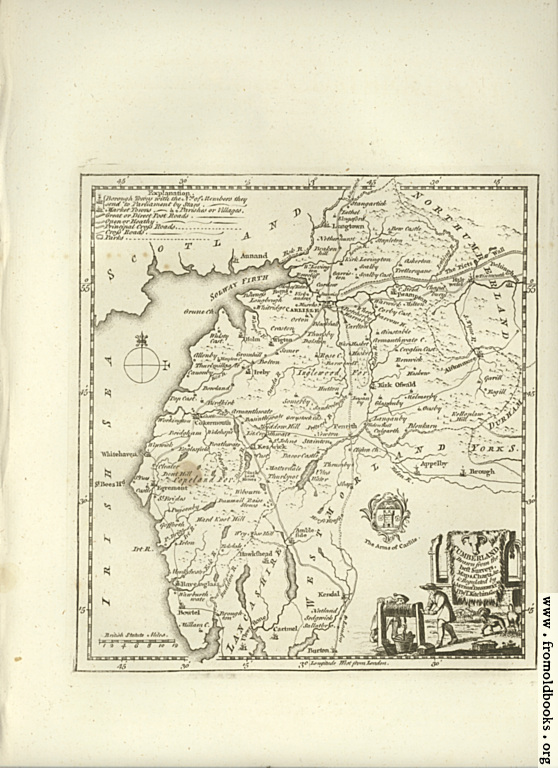
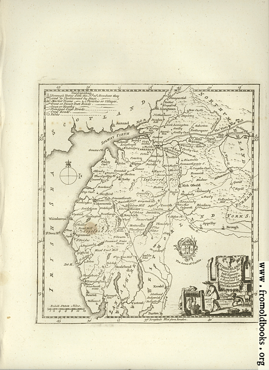
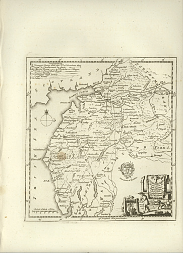
![[Picture: Antique Map of Cumberland]](https://www.fromoldbooks.org/Boswell-Antiquities/pages/Unedited-Cumberland-Map/Unedited-Cumberland-Map-558x768.jpg "[Picture: Antique Map of Cumberland]")
Buy print-size file for commercial or other use
| 363x500 | 74K | jpg free download |
| 120x165 | 11K | jpg free download |
| 145x200 | 13K | jpg free download |
| 558x768 | 177K | jpg free download |
| 872x1200 | 436K | jpg free download |
| 2551x3510 | 2M | jpg free download |
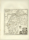
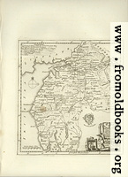
Antique Map of Cumberland