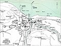
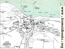
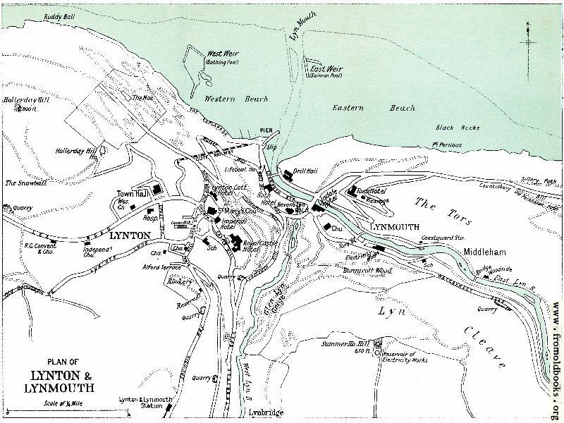
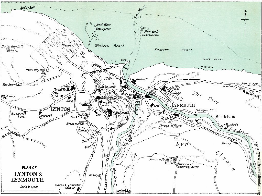
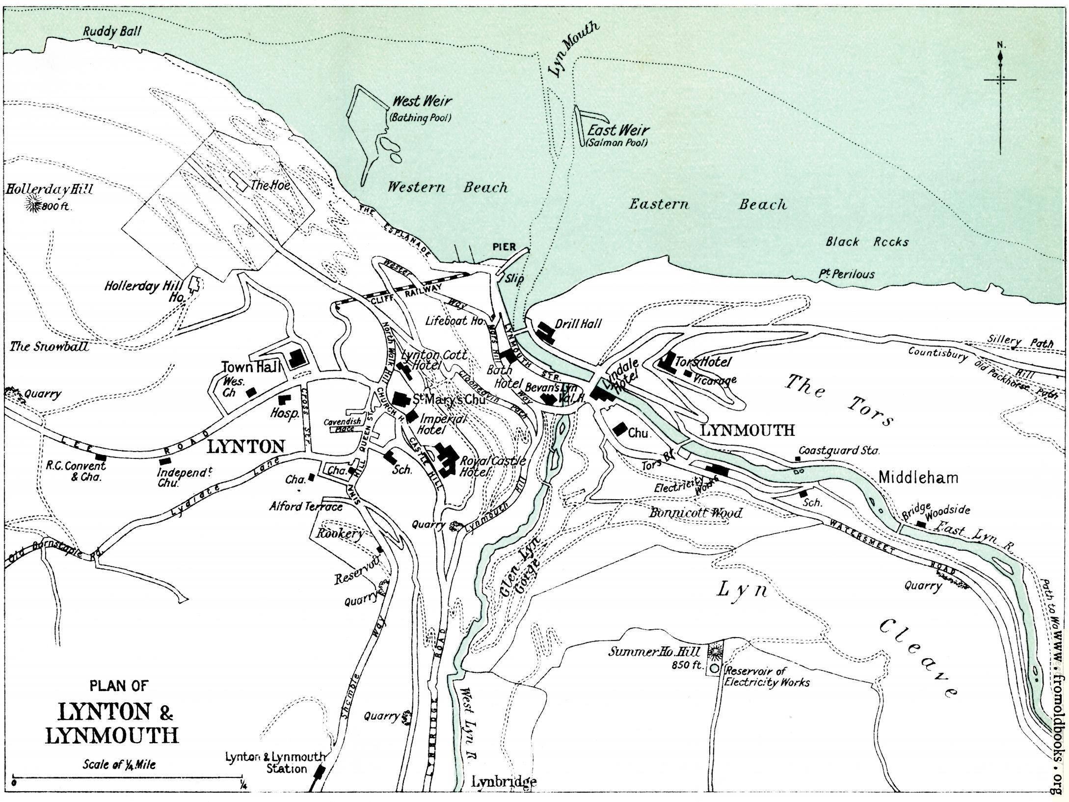
![[Picture: Plan of Lynton & Lynmouth [1910]]](https://www.fromoldbooks.org/WardLockCo-LyntonAndMonmouth/pages/Lynton-01-Plan-of-Lynton-and-Lynmouth/../../tn/Lynton-01-Plan-of-Lynton-and-Lynmouth-q85-500x375.jpg "[Picture: Plan of Lynton & Lynmouth [1910]]")
Download
Buy print-size file for commercial or other use
| 500x375 | 61K | jpg free download |
| 120x90 | 4K | jpg free download |
| 267x200 | 17K | jpg free download |
| 800x600 | 142K | jpg free download |
| 1024x768 | 210K | jpg free download |
| 1600x1200 | 411K | jpg free download |
| 2178x1634 | 494K | jpg free download |
About
Plan of Lynton & Lynmouth [1910], in Lynton, Devonshire, England more