![[Picture: The Map of Bedfordshire]](https://www.fromoldbooks.org/Grose-Antiquities/pages/Bedfordshire/Bedfordshire-q75-1051x887.jpg "[Picture: The Map of Bedfordshire]")
Download
Buy print-size file for commercial or other use
| 500x422 | 62K | jpg free download |
| 120x101 | 5K | jpg free download |
| 237x200 | 16K | jpg free download |
| 788x665 | 126K | jpg free download |
| 1051x887 | 196K | jpg free download |
| 1401x1183 | 398K | jpg free download |
Buy print-size file for commercial or other use
| 500x422 | 62K | jpg free download |
| 120x101 | 5K | jpg free download |
| 237x200 | 16K | jpg free download |
| 788x665 | 126K | jpg free download |
| 1051x887 | 196K | jpg free download |
| 1401x1183 | 398K | jpg free download |
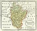
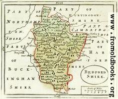
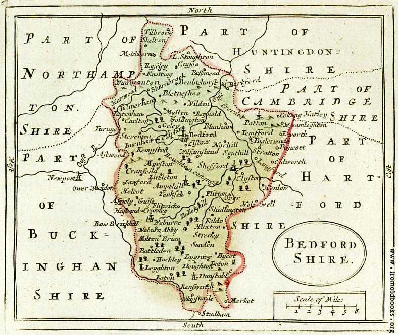
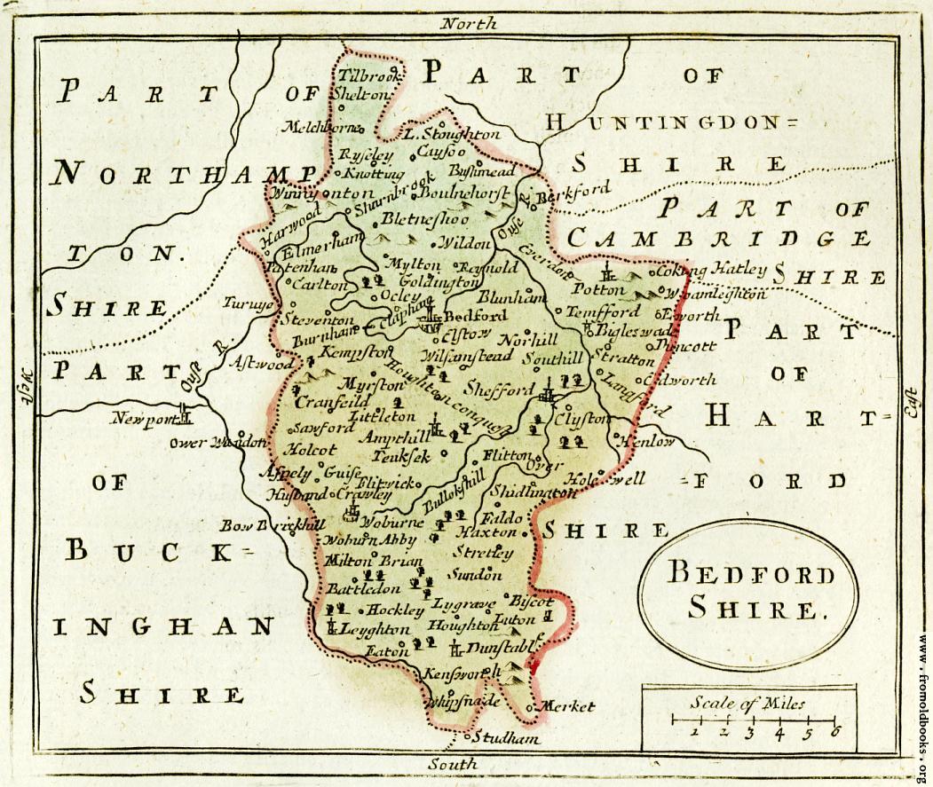
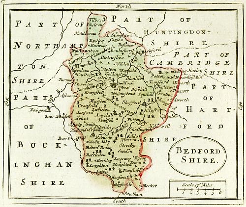
A public-domain map of Bedfordshire from 1783.
Places marked on the map include: Ampthill, Aspely Guise [Aspley Guise], Astwood, Battledon, Bedford, Berkford, Bigleswade [Biggleswade], Biscot, Bletneshoo, Blunham, Boulnehorst, Bullokshill, Burnham, Bushmead, C[a]dworth, Carlton, Cayso, Clapham, Clyfton [Clifton], Coking Hatley, Cranfield, Crawley, Cyerdon, Duncott, Dunstable, Eaton, Elmerham, Elstow, Eworth, Faldo, Flitton, Flitwick, Goldington, Harwood, Haxton, Henlow, Hockley, Holcot, Hole[y]Well, Houghton, Houghton Conquest, Husband, Kempston, Kensworth, Knotting, Langford, Layghton [Leighton?], Littleton, L. Stoughton, Luton, Lygrave, Melchborne, Merket, Milton Brian, Mylton [Milton], Myrston, Norhill [Northill], Ockley, Over, Ower Wandon (Bucks), Patenham, Potton, Reynold, Ryseley [Risley], Sawford, Sharnbrook, Shefford, Shelton, Sludlington, Southill, Steventon, Stratton, Stretley, Studham [Herts], Sundon, Temfford, Teuksek, Tilbrook, Turvye [Turvey] (Northants), Whipsnade, Wildon, Wilsamstead [Wilshamstead or Wilstead], Winny Onton Woamleghton, Woburne, Woburne Abbey.