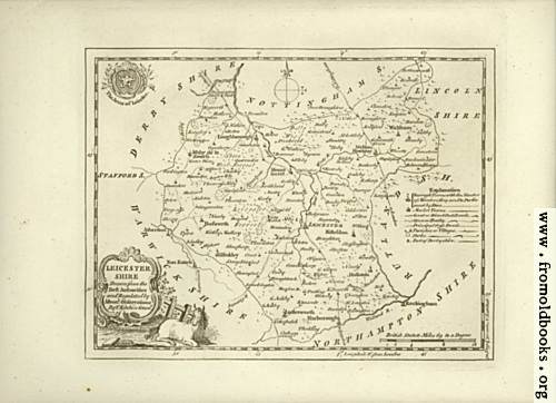
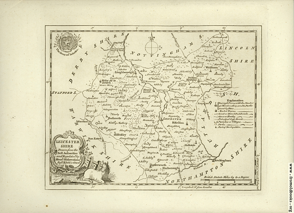
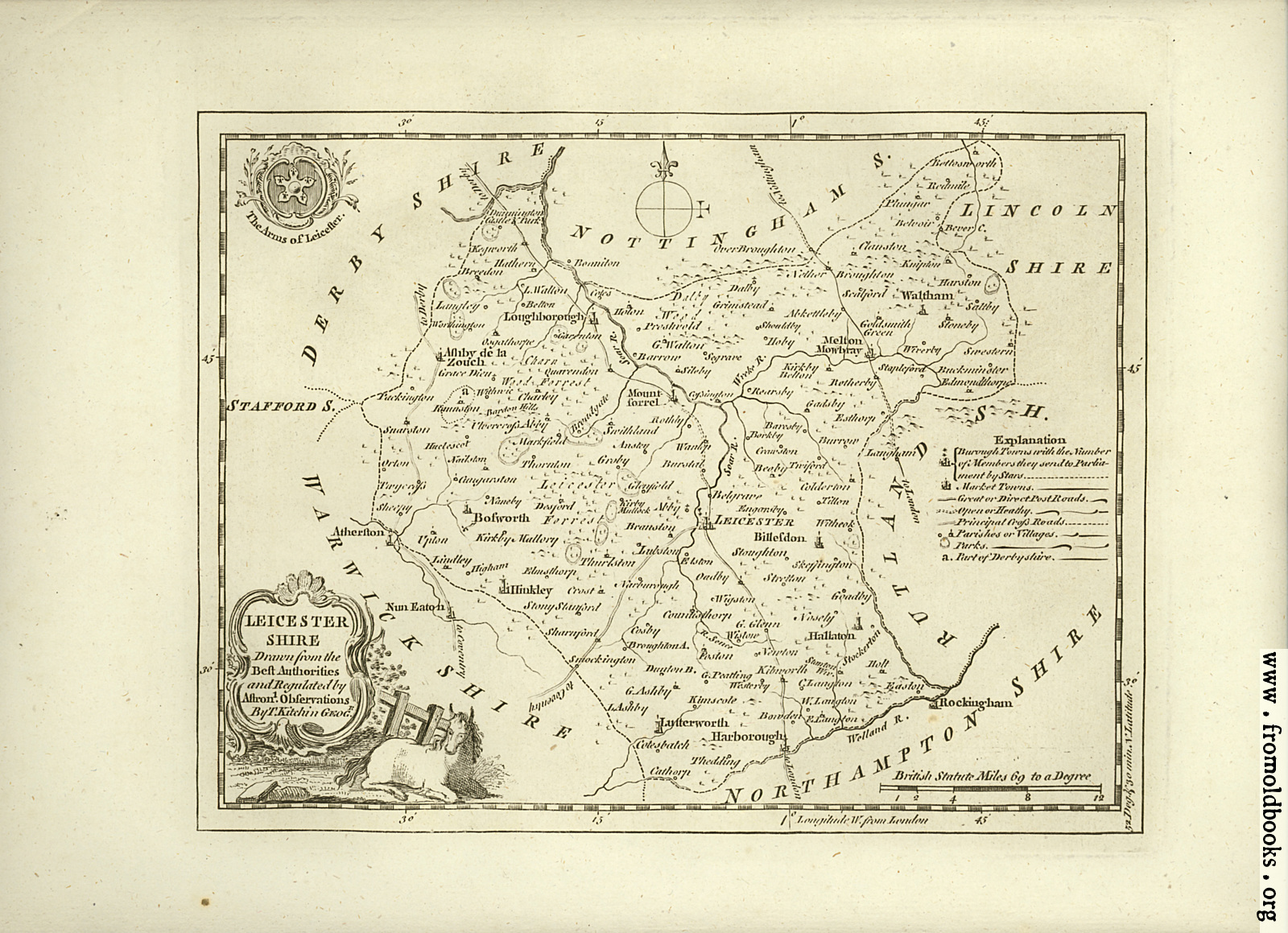
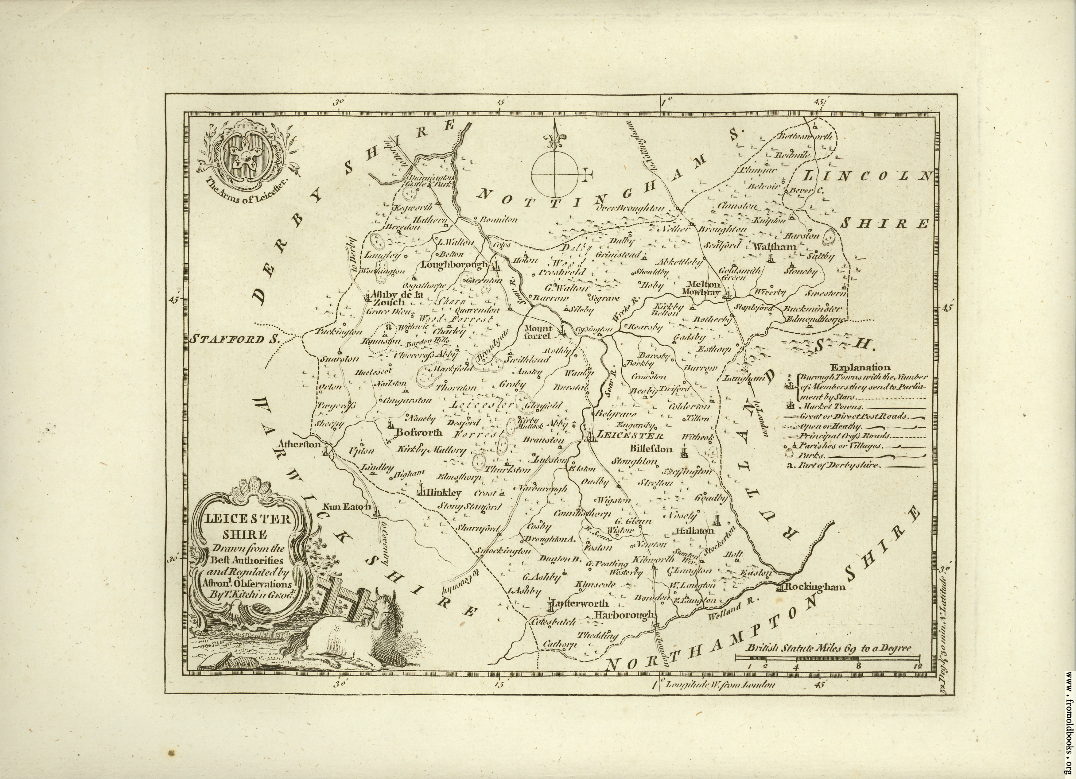
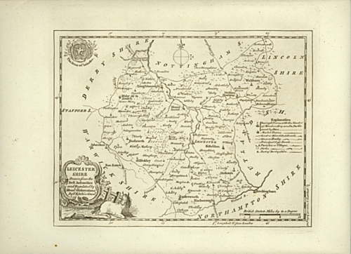
![[Picture: Antique Map of Leicestershire]](https://www.fromoldbooks.org/Boswell-Antiquities/pages/Unedited-Leicestershire-Map/Unedited-Leicestershire-Map-1024x741.jpg "[Picture: Antique Map of Leicestershire]")
Download
Buy print-size file for commercial or other use
| 500x362 | 76K | jpg free download |
| 119x86 | 5K | jpg free download |
| 276x200 | 25K | jpg free download |
| 1024x741 | 320K | jpg free download |
| 1600x1159 | 772K | jpg free download |
| 3505x2538 | 2M | jpg free download |
Buy print-size file for commercial or other use
| 500x362 | 76K | jpg free download |
| 119x86 | 5K | jpg free download |
| 276x200 | 25K | jpg free download |
| 1024x741 | 320K | jpg free download |
| 1600x1159 | 772K | jpg free download |
| 3505x2538 | 2M | jpg free download |
Antique Map of Leicestershire