![[Picture: Eighteenth-Century Map of Gloucestershire]](https://www.fromoldbooks.org/Boswell-Antiquities/pages/Gloucestershire-Map/Gloucestershire-Map-q85-1331x1018.jpg "[Picture: Eighteenth-Century Map of Gloucestershire]")
Download
Buy print-size file for commercial or other use
| 500x382 | 63K | jpg free download |
| 119x91 | 4K | jpg free download |
| 262x200 | 16K | jpg free download |
| 749x573 | 125K | jpg free download |
| 998x764 | 246K | jpg free download |
| 1331x1018 | 358K | jpg free download |
Buy print-size file for commercial or other use
| 500x382 | 63K | jpg free download |
| 119x91 | 4K | jpg free download |
| 262x200 | 16K | jpg free download |
| 749x573 | 125K | jpg free download |
| 998x764 | 246K | jpg free download |
| 1331x1018 | 358K | jpg free download |
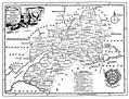
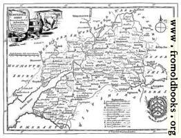
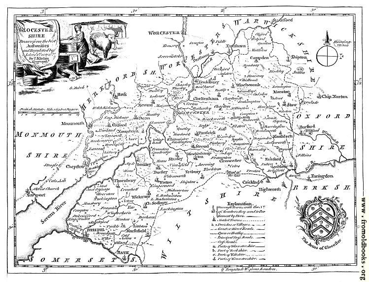
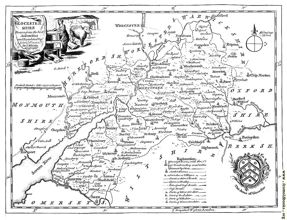
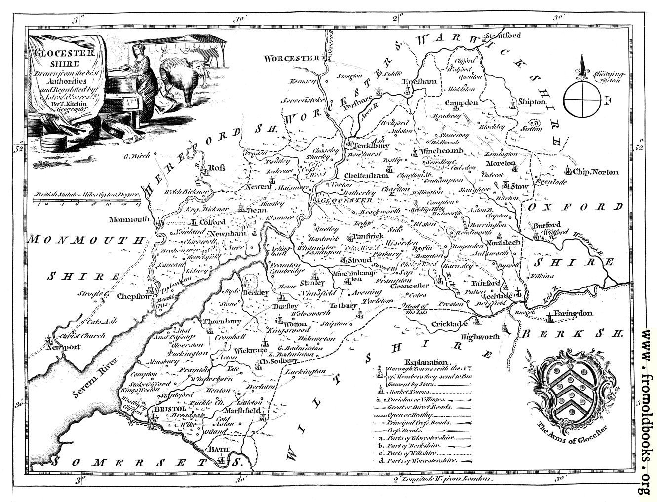
The map of Gloucestershire from Boswell’s 1786 Antiquities; it is labeled “Glocestershire”—presumably an antique spelling, but possibly also a mistake.
Glocester
Drawn from the best
Authorities
and Regulated by
Astronl. Observatns.
By T. Kitchen
Geographr.